
Procopio Spring is a spring in Tonto National Forest, Gila County, Arizona, on US Forest Service land. You are in the Lower Mogollon Transition, a region of the Arizona/New Mexico Mountains. Expect mountain views here.
Wheatfields is about 4.9 miles away, and Gilbert is the nearest city at about 59 miles.
Streams and rivers nearby include Wood Springs Wash. Close by are Apache Tank, Little Brewster Spring and Cherry Spring. Drinking water is right here.
Outdoor adventures here might include hiking, walking and trail running. Experience Procopio Spring with a local guide.
Everything in Tonto National Forest →Guide & Outfitter Permits
Not currently issuing new commercial permits
Fees: not stated on page
Minimum insurance required: not stated on page
Organized group / event permits: offered
Caps / application windows: Forest is not issuing new outfitting/guiding PRIORITY-use permits for any activity other than fishing and hunting. New applications will only be accepted when the forest advertises a prospectus. Temporary-use permits are still handled case-by-case through the local ranger district.
Check for restricted areas. Whatever the permit status above says, parts of an area can be closed or restricted (a zone, trail, season or wilderness area). Check with the managing agency before you visit or guide here.
Attested from the agency's own published page, not verified by MagellanX in person.
Nearby
Cherry Spring spring Rocky Tank lake Apache Tank lake Little Brewster Spring spring Nugget Mesa summit Cottonwood Spring spring Wood Spring spring Apache Tank Number Two lakeSummary
Visitors can hike, according to the managing agency. There are 5 reservable campgrounds within about 30 miles, the nearest being Schoolhouse Campground (AZ) (14.5 miles). The nearest emergency room is Cobre Valley Regional Medical Center in Globe, 10 miles away; the nearest commercial airport is Mesa Gateway Airport, 52 miles away. Typical highs run from 55 to 97°F; March to April is the most comfortable stretch and June to August the hottest.
Things to Do
As listed by the managing agency on Recreation.gov. Park information: (928) 467-2241.
Getting There
Straight-line distances from this pin. Source: OurAirports.
Where to Stay
Sources: Recreation.gov and OpenStreetMap. Check the booking page for fees and availability.
Safety
In an emergency call 911. Cell service can be limited here. Source: OpenStreetMap.
Weather
Typical Weather by Month
Average high (°F) by month, 1991-2020. Blue: cold, green: comfortable (60-85), orange: hot.
Best time to visit: March to April for the most comfortable weather. Hottest: June to August. Driest: June and May. Typical weather only; it does not account for crowds, closures or events.
Sources: National Weather Service (live) and NOAA climate normals from the Globe #3 station (3,660 ft, 10.2 miles away).
Photos of Tonto National Forest
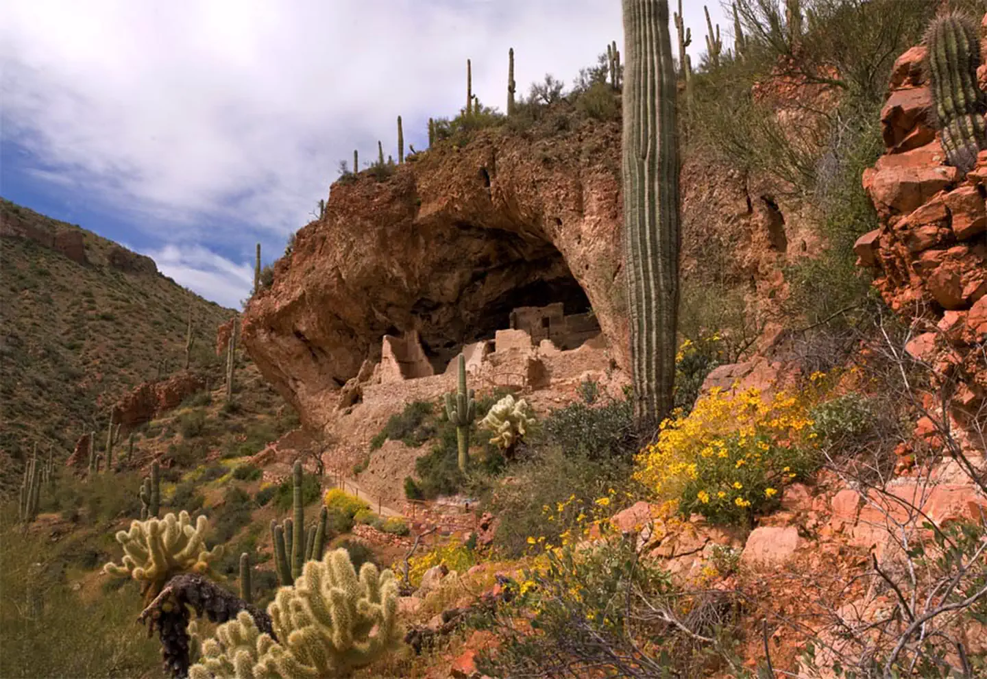
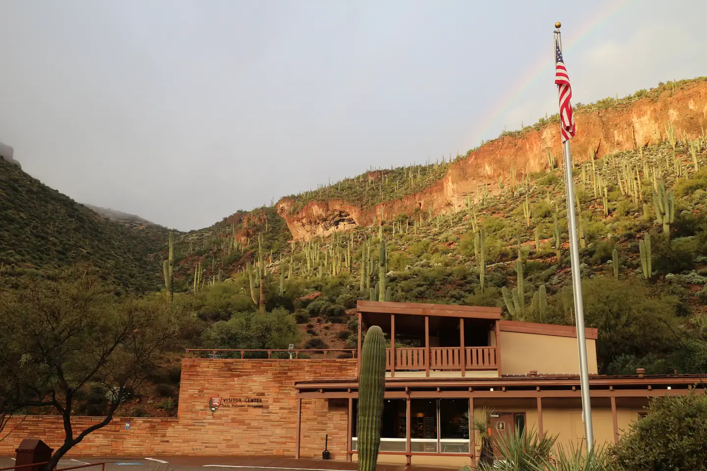
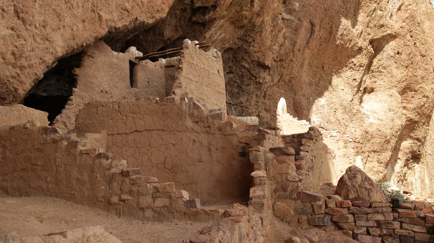
Photos via Recreation.gov, credited as the agency provides them.
Go with a local
Go with someone who knows Tonto National Forest.
Request an independent guide in the MagellanX app, book a trip a guide has already planned, or find a local outfitter or peers to hike with. Then meet up and go.
Outfitters That Guide near Here
42 outfitters are listed near here (see Outfitters Near on this page).
Get the MagellanX App

Guide or outfitter? Same app. Post your trips and take requests.
Keep Me Posted
We are building MagellanX as we go. Want occasional updates as new places, features and guides arrive?
Occasional emails only. Unsubscribe any time.
National Parks
- Big Bend National Park
- Denali National Park
- Joshua Tree National Park
- Lassen Volcanic National Park
- Gates of the Arctic National Park
- Chesapeake and Ohio Canal National Historical Park
- Zion National Park
- Big South Fork National River and Recreation Area
- Gateway National Recreation Area
- Point Reyes National Seashore
- Voyageurs National Park
- Indiana Dunes National Park
- Saint Croix National Scenic Riverway
- Glen Canyon National Recreation Area
- Sleeping Bear Dunes National Lakeshore
- Canyonlands National Park
- Cape Cod National Seashore
- Fire Island National Seashore
- George Washington Memorial Parkway
- Isle Royale National Park
- Wrangell-St. Elias National Preserve
- Buffalo National River
- Wrangell-St. Elias National Park
- Everglades National Park
- Ozark National Scenic Riverways
National Forests
- National Forests in North Carolina
- Shasta-Trinity National Forest
- White River National Forest
- Sierra National Forest
- Plumas National Forest
- Grand Mesa, Uncompahgre and Gunnison National Forests
- Superior National Forest
- Tongass National Forest
- Cherokee National Forest
- Six Rivers National Forest
- Rio Grande National Forest
- Okanogan-Wenatchee National Forest
- Pike and San Isabel National Forests
- Uinta-Wasatch-Cache National Forest
- Chattahoochee-Oconee National Forests
- Klamath National Forest
- George Washington and Jefferson National Forest
- Tahoe National Forest
- Ottawa National Forest
- Coconino National Forest
- Nez Perce-Clearwater National Forest
- Arapaho and Roosevelt National Forests
- Mt. Baker-Snoqualmie National Forest
- Humboldt-Toiyabe National Forest
- Willamette National Forest
1 / 5 Next →
State Parks
- Cumberland Bay State Park
- CT Salmon River State Park
- Cross Ranch State Park
- Angel Island State Park
- Anclote Key Preserve State Park
- Constitution Convention Museum State Park
- Conde B. McCullough State Park
- Conconully State Park
- Colleton State Park
- Coldwater Lake State Park
- Anaconda Smoke Stack State Park
- Anaconda Smelter Stack State Park
- Clark's Lookout State Park
- Choke Canyon State Park - South Shore Unit
- State Park at the Fair
- Cherry Springs State Park
- Amherst State Park
- Steptoe Battlefield State Park
- Central State Park
- Cedar Point State Park
- Cedar Island State Park
- Stretch Point State Park
- Stuart Island Marine State Park
- Cave Rock State Park
- Catawba Island State Park
Tribal Land & Reservations
- Creek OTSA
- Cherokee OTSA
- Lumbee SDTSA
- Cheyenne and Arapaho OTSA
- Choctaw OTSA
- Navajo Nation Reservation
- Uintah and Ouray Reservation
- Chickasaw OTSA
- Blackfeet Indian Reservation
- Kiowa-Comanche-Apache-Fort Sill Apache OTSA
- Citizen Potawatomi Nation-Absentee Shawnee OTSA
- Fort Apache Reservation
- Sac and Fox OTSA
- White Earth Reservation
- Leech Lake Reservation
- Knik ANVSA
- Samish TDSA
- Lake Traverse Reservation
- Chickaloon ANVSA
- Warm Springs Reservation
- Fort Hall Reservation
- Flathead Reservation
- Eastern Cherokee Reservation
- Kenaitze ANVSA
- San Carlos Reservation
1 / 23 Next →
Browse Parks by State
- Alabama
- Alaska
- Arizona
- Arkansas
- California
- Colorado
- Connecticut
- Delaware
- Florida
- Georgia
- Hawaii
- Idaho
- Illinois
- Indiana
- Iowa
- Kansas
- Kentucky
- Louisiana
- Maine
- Maryland
- Massachusetts
- Michigan
- Minnesota
- Mississippi
- Missouri
- Montana
- Nebraska
- Nevada
- New Hampshire
- New Jersey
- New Mexico
- New York
- North Carolina
- North Dakota
- Ohio
- Oklahoma
- Oregon
- Pennsylvania
- Rhode Island
- South Carolina
- South Dakota
- Tennessee
- Texas
- Utah
- Vermont
- Virginia
- Washington
- West Virginia
- Wisconsin
- Wyoming