Photos courtesy of Google.
Backcountry track · National Park Service land
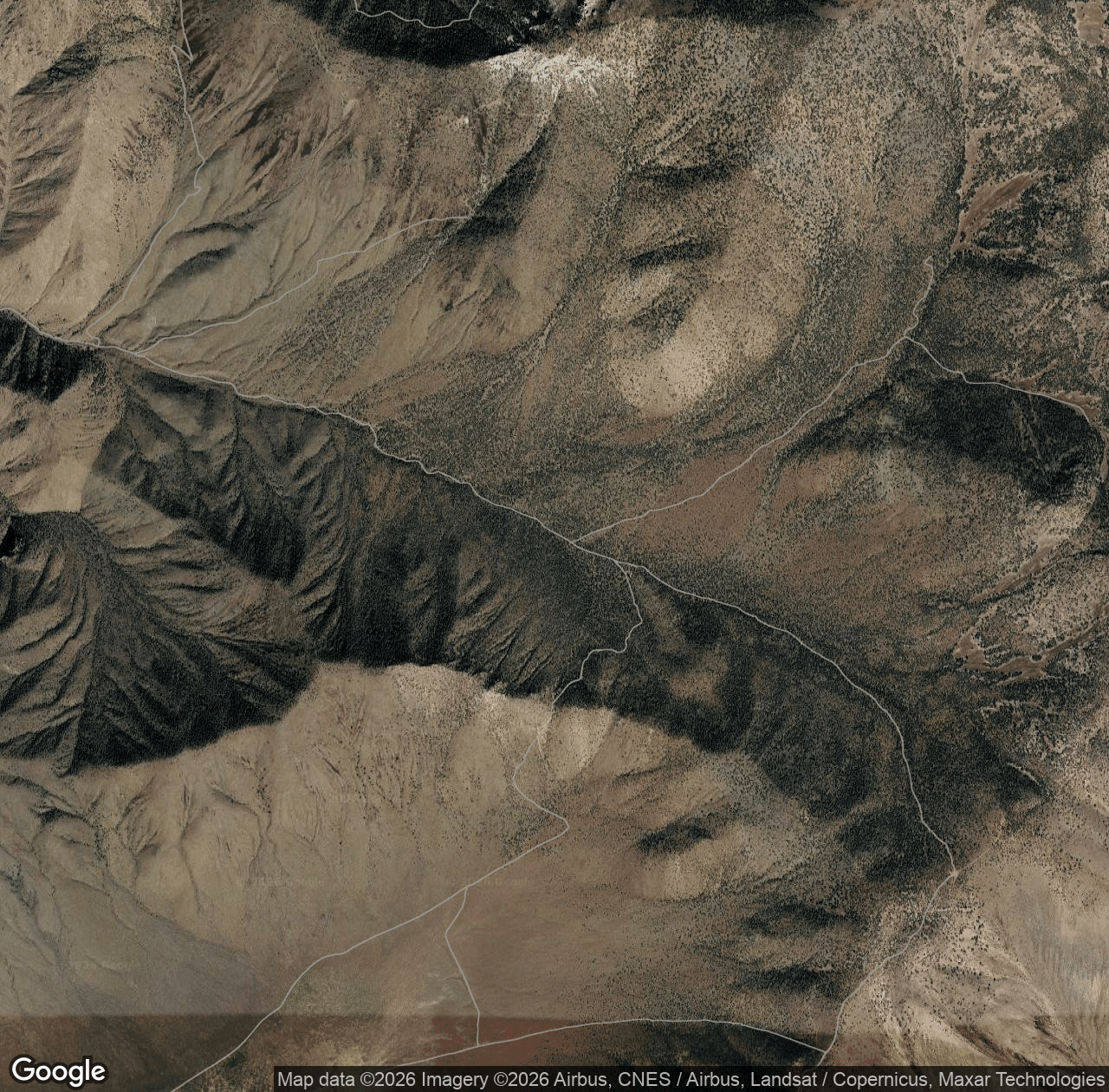
Pleasant Canyon Road is a backcountry track on National Park Service land. People come here for Hiking, Walking, Trail Running. Book a local guide on MagellanX to take you, or, if you know this area, guide it yourself.
Everything in Death Valley National Park →Nearby
Porter Peak summit World Beater Cabin campground Arrastre Spring spring Slims Peak summit Sentinel Peak summit Striped Butte summit Colter Spring spring Anvil Spring springFor explorers
Book a guide for Pleasant Canyon Road.
Find a guide for the trail, park or water you want to explore — same day, or booked ahead.
For guides
Guide this area.
Get paid for the terrain you already know. Bring your own explorers with a referral link.