
Cow Lake is a lake in Grand Teton National Park in Teton County, Wyoming, on National Park Service land. The area lies in the High Elevation Valleys of the Middle Rockies region.
The nearest parking is about 1.3 miles away. The nearest trail is about 0.8 miles away. The closest town is Moose, about 14.2 miles away, and the nearest city is Jackson, about 26 miles off.
Nearby places include Jackson Point Overlook, Signal Mountain and Emma Matilda Overlook. You can also find Signal Mountain Trail nearby.
Grand Teton National Park has 45 lakes, and this is one of them. Outdoor adventures here might include kayaking. Experience a guided trip at Cow Lake.
Everything in Grand Teton National Park →Guide & Outfitter Permits
Limited / seasonal window for new permits
Fees: Operators submit fee schedules; percentage-of-gross-receipts figure not stated in page body.
Minimum insurance required: Specific insurance minimums not stated except Auto-Shuttle Services (Drive Away coverage / Garage Keeper endorsement).
Organized group / event permits: unclear
Caps / application windows: Annual application window only: "The CUA application period will be open November 3, 2025, to April 1, 2026." As of Aug 2026 the window is closed. "The park does not accept applications for activities not listed above such as lodging, campgrounds, food and beverage, retail, marina and boating services..." Authorized categories are an enumerated list (Guided Interpretive Tours, Photography/Video/Painting Workshops, Auto-Shuttle, Guided Bicycle Tours, Guided Youth Day Hiking, Step-On Guide, Towing, Transit, Dude Ranch Amenities, Hunt Outfitter).
Check for restricted areas. Whatever the permit status above says, parts of an area can be closed or restricted (a zone, trail, season or wilderness area). Check with the managing agency before you visit or guide here.
Attested from the agency's own published page, not verified by MagellanX in person.
Nearby
Signal Mountain summit Emma Matilda Overlook overlook Signal Mtn Overlook Trail hiking trail Snake River river Jackson Point Overlook overlook Signal Mountain Trail hiking trail Oxbow Bend river Christian Pond Loop Trail hiking trailSummary
Visitors can bike, go boating, camp, climb, hike, paddle and watch wildlife, according to the National Park Service. There are 5 reservable campgrounds within about 10 miles, the nearest being Signal Mountain Campground (2.7 miles). The nearest emergency room is Saint John's Medical Center in Jackson, 26 miles away; the nearest commercial airport is Jackson Hole Airport, 18 miles away. Typical highs run from 24 to 77°F; June to September is the most comfortable stretch.
Things to Do
As listed by the managing agency on Recreation.gov. Park information: (307) 739-3399.
Getting There
Straight-line distances from this pin. Source: OurAirports.
Where to Stay
Sources: Recreation.gov and OpenStreetMap. Check the booking page for fees and availability.
Safety
In an emergency call 911. Cell service can be limited here. Source: OpenStreetMap.
Weather
Typical Weather by Month
Average high (°F) by month, 1991-2020. Blue: cold, green: comfortable (60-85), orange: hot.
Best time to visit: June to September for the most comfortable weather. Driest: July and August. Typical weather only; it does not account for crowds, closures or events.
Sources: National Weather Service (live) and NOAA climate normals from the Moran 5Wnw station (6,805 ft, 2.3 miles away).
Photos of Grand Teton National Park
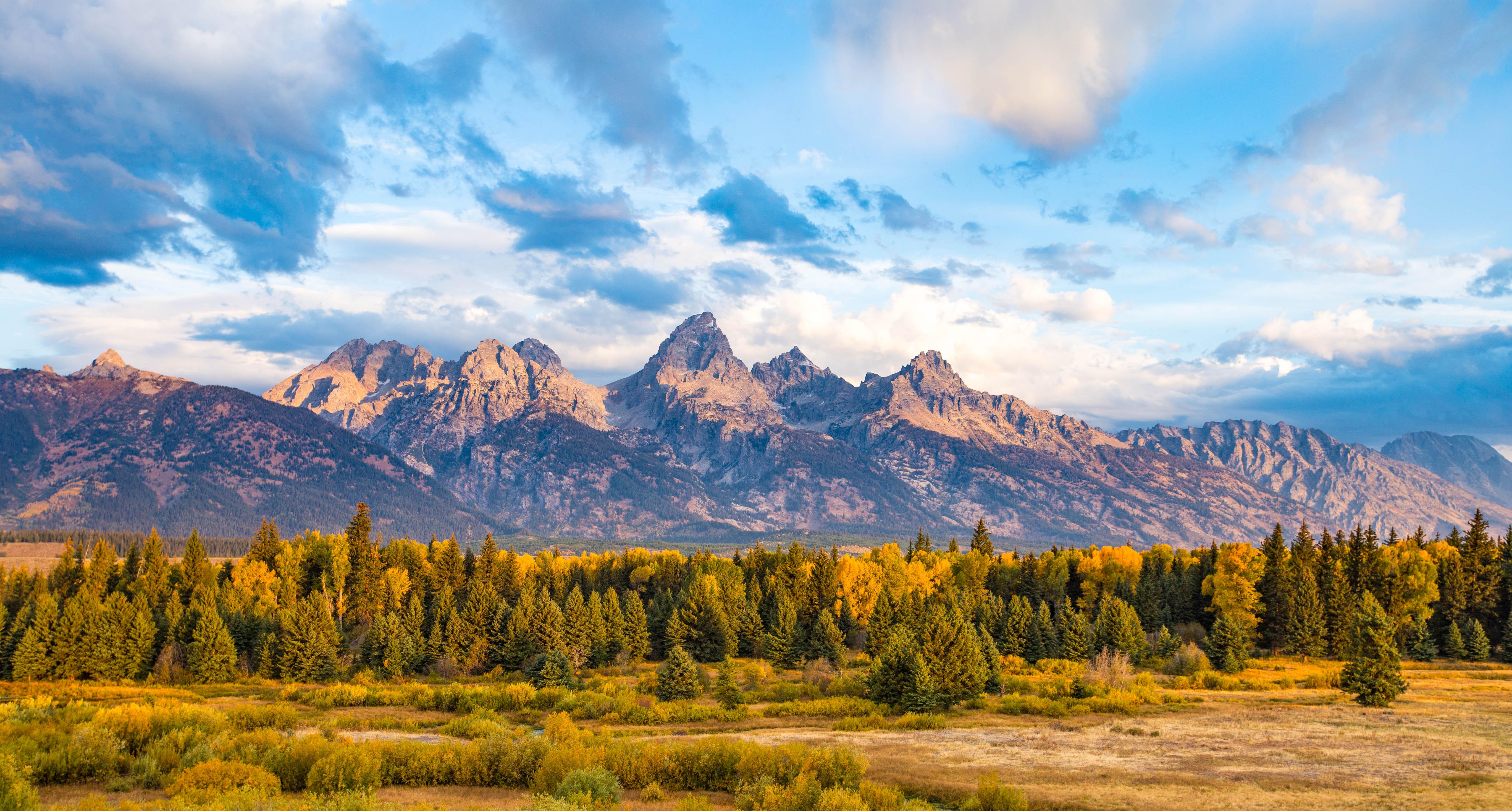
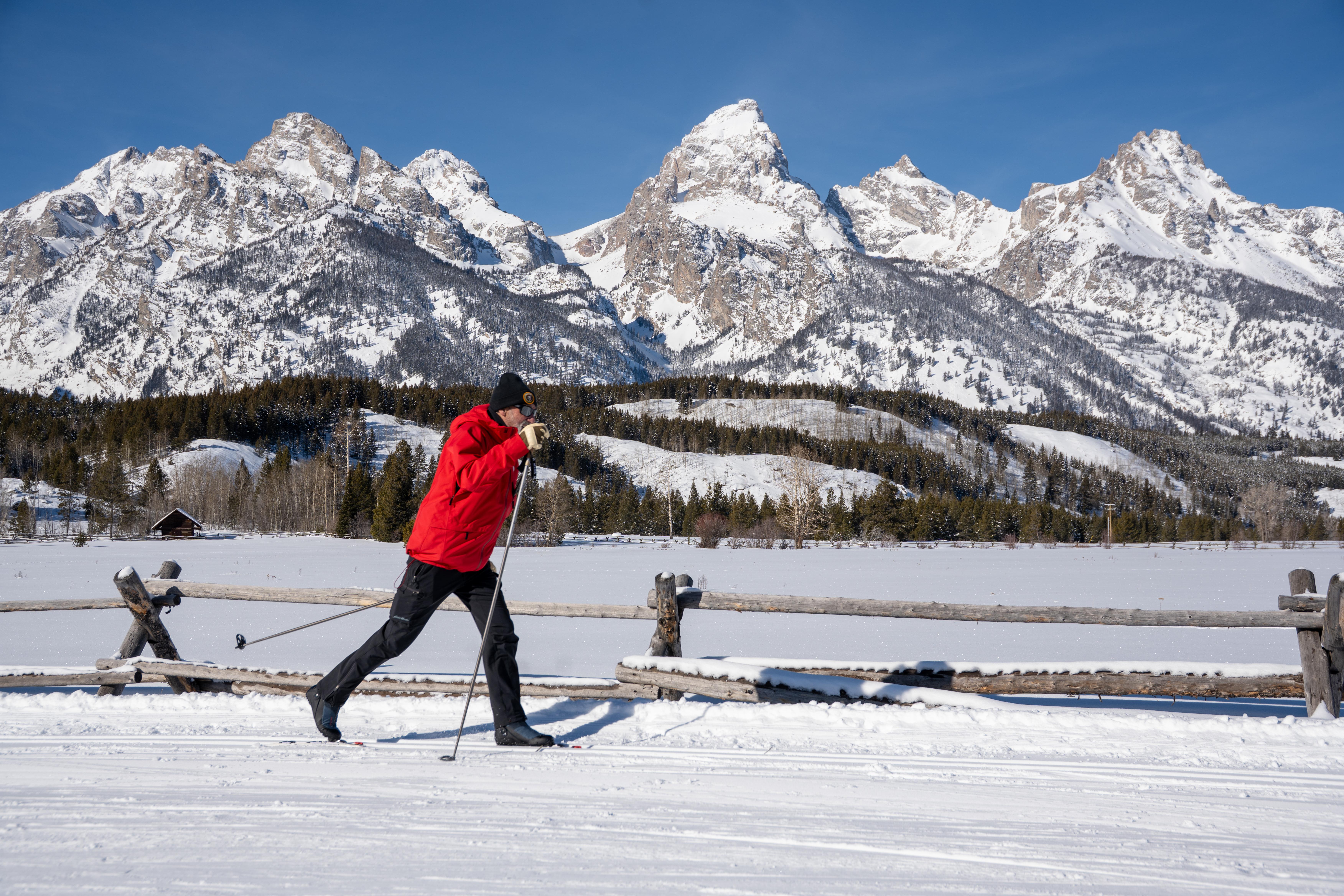
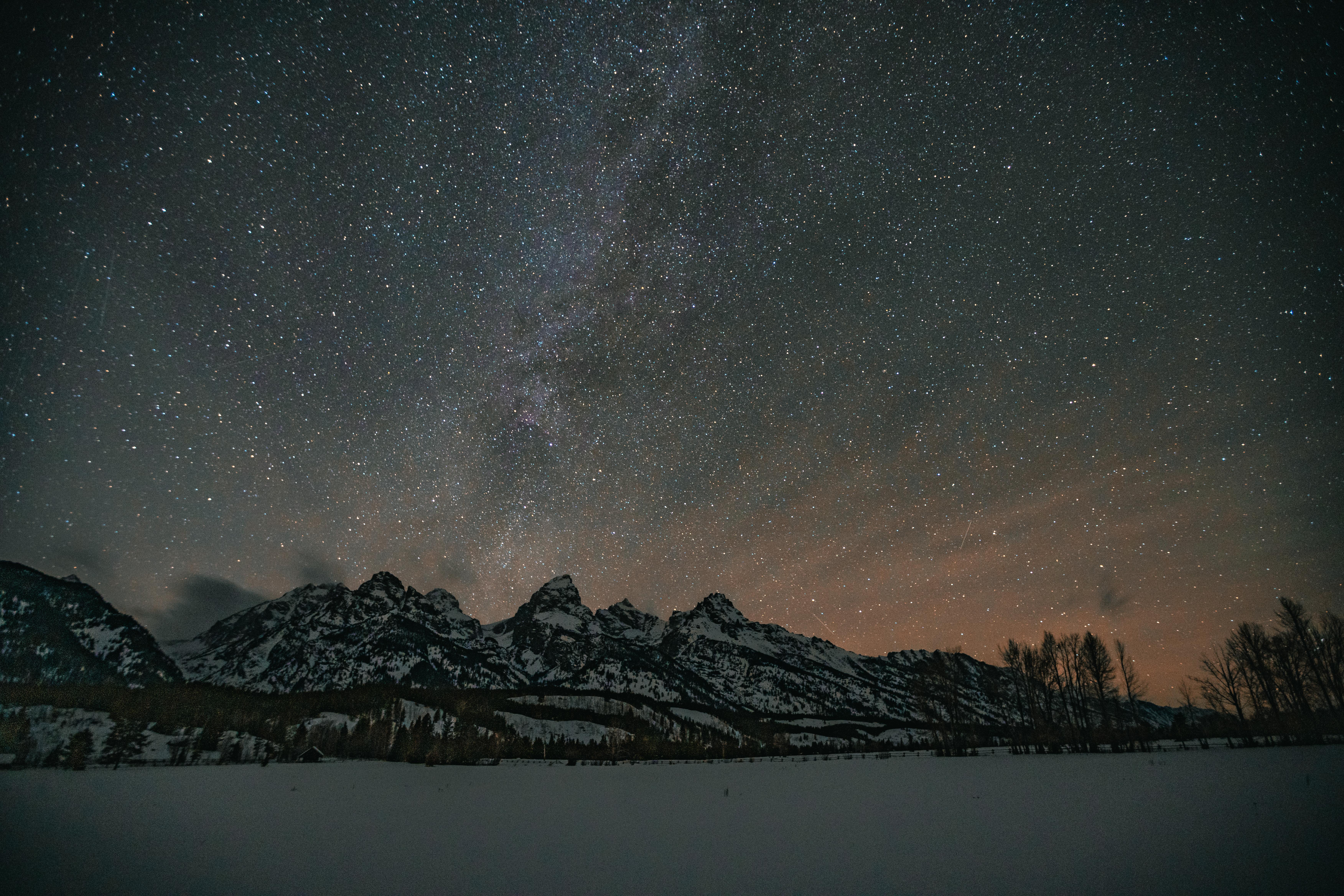

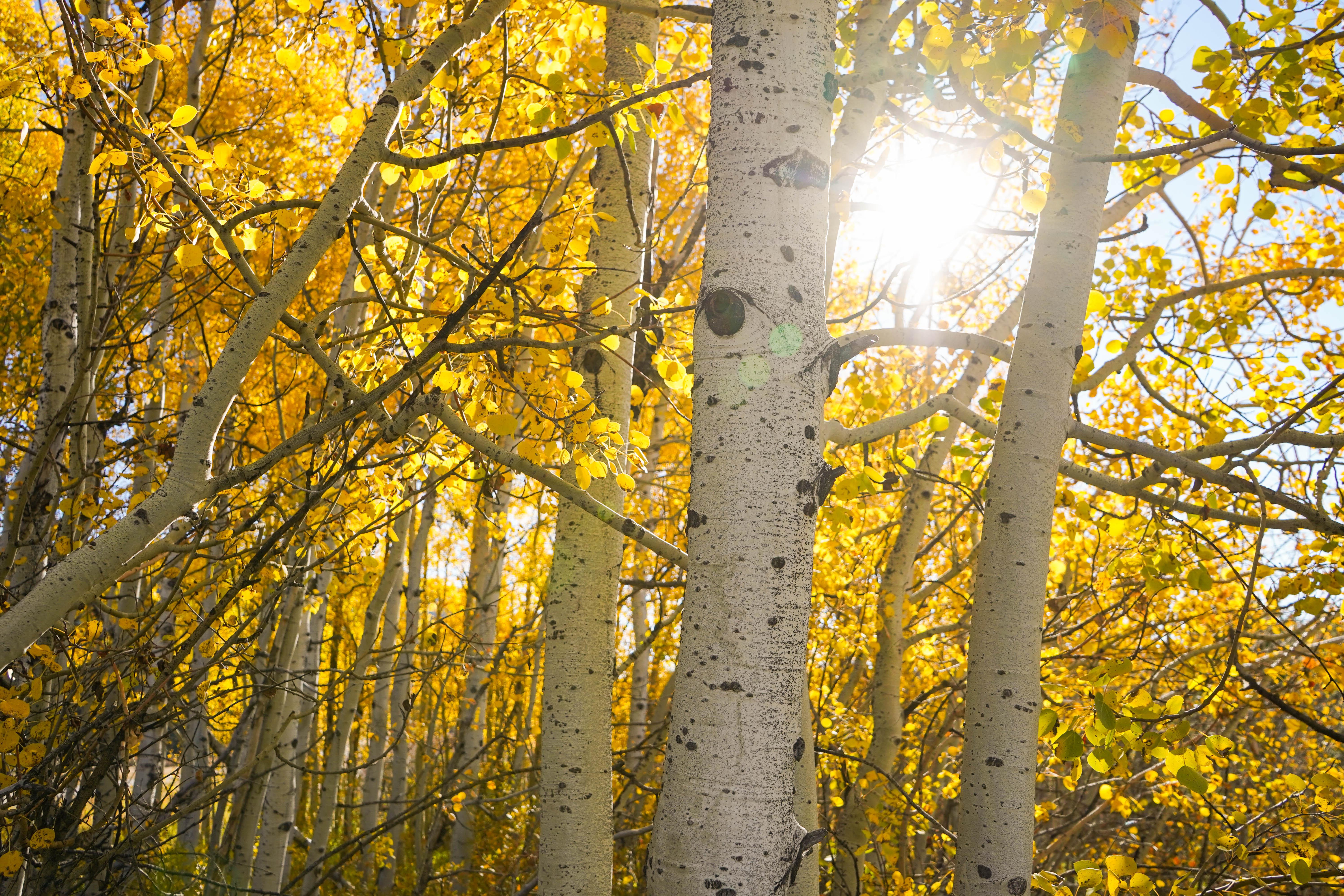
Photos via Recreation.gov, credited as the agency provides them.
Go with a local
Go with someone who knows Grand Teton National Park.
Request an independent guide in the MagellanX app, book a trip a guide has already planned, or find a local outfitter or peers to hike with. Then meet up and go.
Outfitters That Guide near Here
52 outfitters are listed near here (see Outfitters Near on this page).
Get the MagellanX App

Guide or outfitter? Same app. Post your trips and take requests.
Keep Me Posted
We are building MagellanX as we go. Want occasional updates as new places, features and guides arrive?
Occasional emails only. Unsubscribe any time.
National Parks
- Great Smoky Mountains National Park
- Yellowstone National Park
- Glacier National Park
- Appalachian National Scenic Trail
- Kings Canyon National Park
- Santa Monica Mountains National Recreation Area
- Olympic National Park
- Sequoia National Park
- Rocky Mountain National Park
- Blue Ridge Parkway
- Yosemite National Park
- Grand Canyon National Park
- Death Valley National Park
- Golden Gate National Recreation Area
- Mississippi National River and Recreation Area
- Cuyahoga Valley National Park
- Shenandoah National Park
- Mount Rainier National Park
- North Cascades National Park
- Grand Teton National Park
- Redwood National Park
- Acadia National Park
- Lake Mead National Recreation Area
- Delaware Water Gap National Recreation Area
- Mojave National Preserve
1 / 15 Next →
National Forests
- Huron-Manistee National Forest
- Custer Gallatin National Forest
- Inyo National Forest
- Deschutes National Forest
- Medicine Bow-Routt National Forest
- Los Padres National Forest
- Rogue River-Siskiyou National Forests
- Bridger-Teton National Forest
- Gifford Pinchot National Forest
- Tonto National Forest
- Modoc National Forest
- Mark Twain National Forest
- Francis Marion and Sumter National Forests
- Hiawatha National Forest
- Umatilla National Forest
- Sequoia National Forest
- Siuslaw National Forest
- San Juan National Forest
- Kootenai National Forest
- Flathead National Forest
- Malheur National Forest
- Apache-Sitgreaves National Forests
- Coronado National Forest
- Chequamegon-Nicolet National Forest
- Mendocino National Forest
State Parks
- Chugach State Park
- Patapsco Valley State Park
- Anza-Borrego Desert State Park
- Baxter State Park
- Harriman State Park
- Henry W. Coe State Park
- Mount Diablo State Park
- Gunpowder Falls State Park
- Humboldt Redwoods State Park
- Wasatch Mountain State Park
- Porcupine Mountains Wilderness State Park
- Delaware and Raritan Canal State Park
- Cherry Creek State Park
- Big Basin Redwoods State Park
- Ringwood State Park
- Allamuchy Mountain State Park
- Henry Cowell Redwoods State Park
- Delaware Canal State Park
- Custer State Park
- Hennepin Canal Parkway State Park
- Rockefeller State Park Preserve
- Letchworth State Park
- Cloudland Canyon State Park
- Cuyamaca Rancho State Park
- Brown County State Park
1 / 91 Next →
Tribal Land & Reservations
- Seminole OTSA
- Yakama Nation Reservation
- Oneida Indian Nation Reservation
- Wind River Reservation
- Ninilchik ANVSA
- Osage Reservation
- Navajo Nation Off-Reservation Trust Land
- Four Winds Cherokee SDTSA
- Iowa OTSA
- Kickapoo OTSA
- Jicarilla Apache Nation Reservation
- Cher-O-Creek SDTSA
- Coharie SDTSA
- Colville Reservation
- Caddo-Wichita-Delaware OTSA
- Hoopa Valley Reservation
- Natchitoches SDTSA
- Tohono O'odham Nation Reservation
- Fort Berthold Reservation
- Southern Ute Reservation
- Northern Cheyenne Indian Reservation
- Quinault Reservation
- United Houma Nation SDTSA
- Red Lake Reservation
- Occaneechi-Saponi SDTSA
Browse Parks by State
- Alabama
- Alaska
- Arizona
- Arkansas
- California
- Colorado
- Connecticut
- Delaware
- Florida
- Georgia
- Hawaii
- Idaho
- Illinois
- Indiana
- Iowa
- Kansas
- Kentucky
- Louisiana
- Maine
- Maryland
- Massachusetts
- Michigan
- Minnesota
- Mississippi
- Missouri
- Montana
- Nebraska
- Nevada
- New Hampshire
- New Jersey
- New Mexico
- New York
- North Carolina
- North Dakota
- Ohio
- Oklahoma
- Oregon
- Pennsylvania
- Rhode Island
- South Carolina
- South Dakota
- Tennessee
- Texas
- Utah
- Vermont
- Virginia
- Washington
- West Virginia
- Wisconsin
- Wyoming