Photos courtesy of Google.
River · Bureau of Land Management land
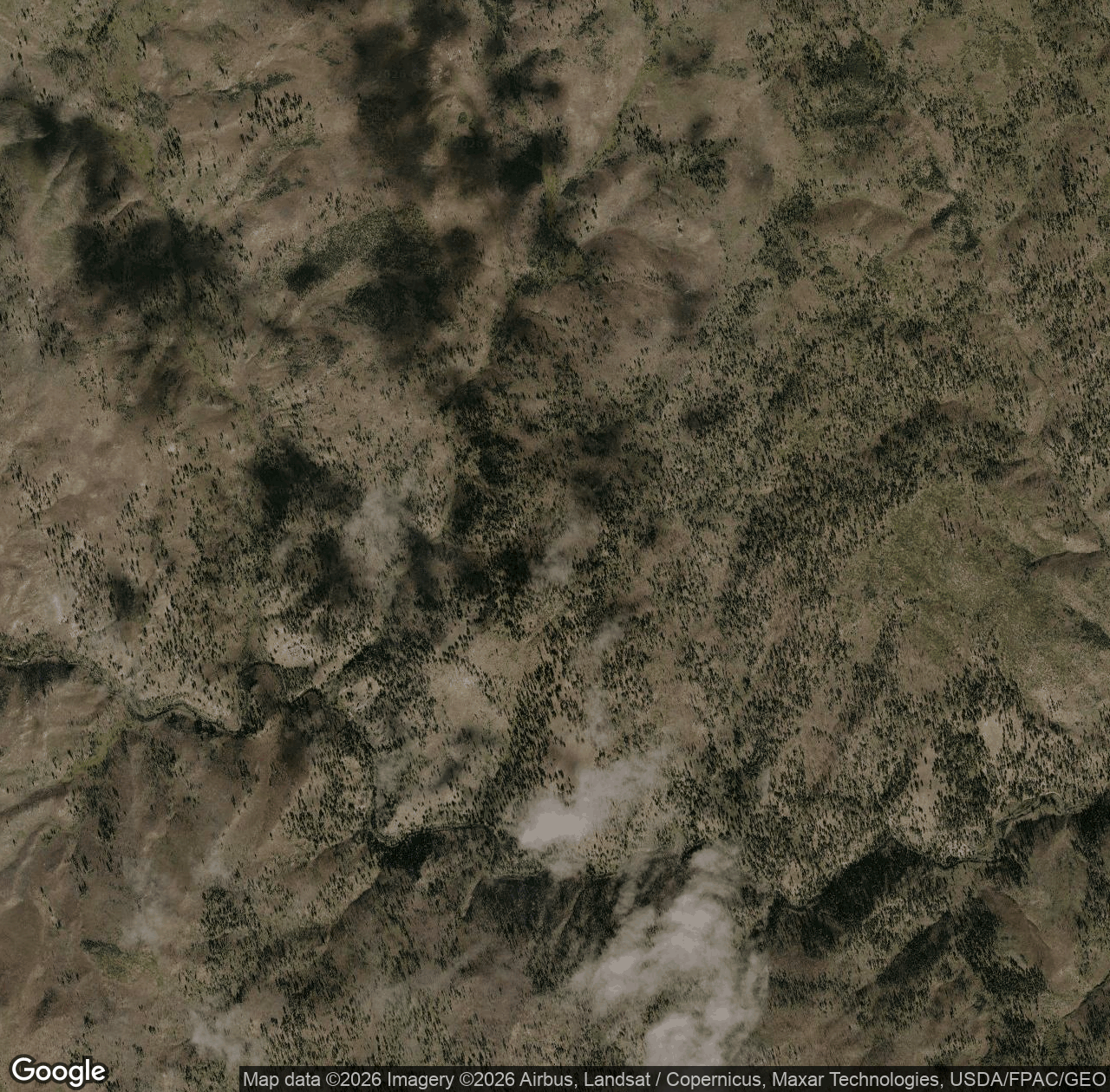
Chamberlain Creek is a river on Bureau of Land Management land. People come here for Rafting, Kayaking. Book a local guide on MagellanX to take you, or, if you know this area, guide it yourself.
Everything in Cottonwood Field Office →Nearby
Queen Creek Trail hiking trail Lodgepole Point summit Cold Meadows Trail hiking trail Moose Meadows Point summit Chamberlain Trail hiking trail Artic Point Trail hiking trail Chamberlain Creek Trail hiking trail Rocky Point Trail hiking trailFor explorers
Book a guide for Chamberlain Creek.
Find a guide for the trail, park or water you want to explore — same day, or booked ahead.
For guides
Guide this area.
Get paid for the terrain you already know. Bring your own explorers with a referral link.